
Celje topographic map
Interactive map
Click on the map to display elevation.
About this map
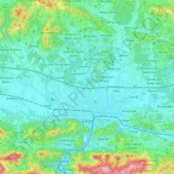
Name: Celje topographic map, elevation, terrain.
Location: Celje, Slovenia (46.18851 15.20931 46.32104 15.35298)
Average elevation: 1,079 ft
Minimum elevation: 738 ft
Maximum elevation: 2,648 ft
Other topographic maps
Click on a map to view its topography, its elevation and its terrain.