
Fort Vermilion topographic map
Interactive map
Click on the map to display elevation.
About this map
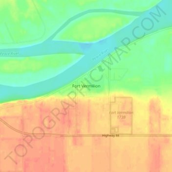
Name: Fort Vermilion topographic map, elevation, terrain.
Location: Fort Vermilion, Mackenzie County, Alberta, T0H 1N0, Canada (58.36935 -116.03369 58.40935 -115.99369)
Average elevation: 873 ft
Minimum elevation: 794 ft
Maximum elevation: 945 ft