Geolocate

Amsipit topographic map

Click on the map to display elevation.

About this map

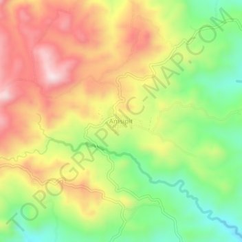
Name: Amsipit topographic map, elevation, terrain.

Location: Amsipit, Maasim, Sarangani, Soccsksargen, 9502, Philippines (5.89270 124.98470 5.93270 125.02470)

Average elevation: 1,637 ft

Minimum elevation: 889 ft

Maximum elevation: 2,408 ft

Gear up for your next adventure:

🌡️Portable Weather Meter - Track weather conditions on the trail
🔋Solar Power Banks - Keep your GPS and phone charged in remote wilderness areas
📡Handheld GPS Device - Reliable handheld GPS for outdoor navigation
🪶Trail Camera - Capture wildlife on your hikes
🪶Paracord Bracelet - Survival bracelet with built‑in tools

As an Amazon Associate, this site earns from qualifying purchases at no extra cost to you.