
Thank you for supporting this site ❤️
Make a donation
Make a donation
Gear up for your next adventure:
As an Amazon Associate, this site earns from qualifying purchases at no extra cost to you.
Stahlberg topographic map
Click on the map to display elevation.
Thank you for supporting this site ❤️
Make a donation
Make a donation
Gear up for your next adventure:
As an Amazon Associate, this site earns from qualifying purchases at no extra cost to you.
About this map
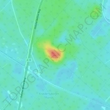
Name: Stahlberg topographic map, elevation, terrain.
Location: Stahlberg, Spreenhagen, Oder-Spree, Brandenburg, Deutschland (52.35342 13.76864 52.35352 13.76874)
Average elevation: 141 ft
Minimum elevation: 108 ft
Maximum elevation: 269 ft
Thank you for supporting this site ❤️
Make a donation
Make a donation
Gear up for your next adventure:
As an Amazon Associate, this site earns from qualifying purchases at no extra cost to you.