Tashly-Tala topographic map
Interactive map
Click on the map to display elevation.
About this map
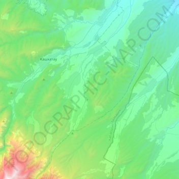
Name: Tashly-Tala topographic map, elevation, terrain.
Average elevation: 2,930 ft
Minimum elevation: 1,309 ft
Maximum elevation: 9,849 ft

Click on the map to display elevation.
Name: Tashly-Tala topographic map, elevation, terrain.
Average elevation: 2,930 ft
Minimum elevation: 1,309 ft
Maximum elevation: 9,849 ft