
Thank you for supporting this site ❤️
Make a donation
Make a donation
Gear up for your next adventure:
As an Amazon Associate, this site earns from qualifying purchases at no extra cost to you.
Donk topographic map
Click on the map to display elevation.
Thank you for supporting this site ❤️
Make a donation
Make a donation
Gear up for your next adventure:
As an Amazon Associate, this site earns from qualifying purchases at no extra cost to you.
About this map
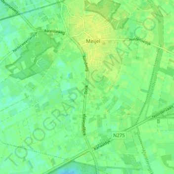
Name: Donk topographic map, elevation, terrain.
Location: Donk, Meijel, Peel en Maas, Limburg, Nederland, 5768, Nederland (51.31348 5.86329 51.35348 5.90329)
Average elevation: 108 ft
Minimum elevation: 82 ft
Maximum elevation: 125 ft
Thank you for supporting this site ❤️
Make a donation
Make a donation
Gear up for your next adventure:
As an Amazon Associate, this site earns from qualifying purchases at no extra cost to you.