
Parque Parana topographic map
Interactive map
Click on the map to display elevation.
About this map
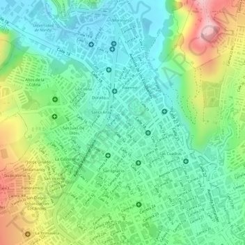
Name: Parque Parana topographic map, elevation, terrain.
Location: Parque Parana, Maridíaz, Pasto, Nariño, Colombia (1.22161 -77.28504 1.22252 -77.28420)
Average elevation: 8,376 ft
Minimum elevation: 8,110 ft
Maximum elevation: 8,875 ft
Other topographic maps
Click on a map to view its topography, its elevation and its terrain.