
Mwanza topographic map
Interactive map
Click on the map to display elevation.
About this map
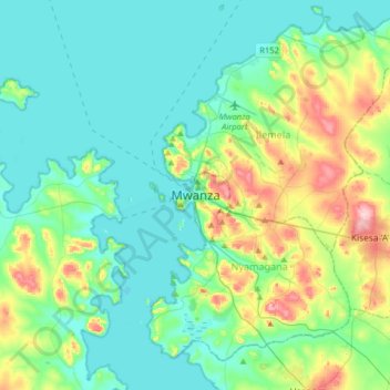
Name: Mwanza topographic map, elevation, terrain.
Location: Mwanza, Nyamagana, Mwanza Region, Lake Zone, 33214, Tanzania (-2.67969 32.74144 -2.35969 33.06144)
Average elevation: 3,865 ft
Minimum elevation: 3,704 ft
Maximum elevation: 4,416 ft
Other topographic maps
Click on a map to view its topography, its elevation and its terrain.