
Tracy topographic map
Click on the map to display elevation.
About this map
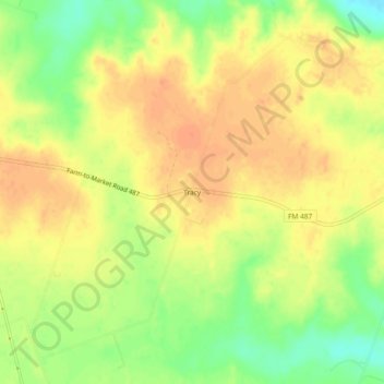
Name: Tracy topographic map, elevation, terrain.
Location: Tracy, Milam County, Texas, United States (30.72186 -97.11721 30.76186 -97.07721)
Average elevation: 427 ft
Minimum elevation: 344 ft
Maximum elevation: 472 ft
Milam County trails, hiking, mountain biking, running and outdoor activities
Other topographic maps
Click on a map to view its topography, its elevation and its terrain.