Geolocate

Naples Green topographic map

Click on the map to display elevation.

About this map

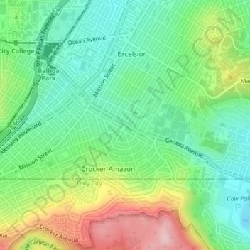
Name: Naples Green topographic map, elevation, terrain.

Location: Naples Green, Crocker-Amazon, San Francisco, California, United States (37.71402 -122.43637 37.71411 -122.43623)

Average elevation: 331 ft

Minimum elevation: 69 ft

Maximum elevation: 820 ft

California trails, hiking, mountain biking, running and outdoor activities

Other topographic maps

Click on a map to view its topography, its elevation and its terrain.

Potrero Hill

United States > California > San Francisco

Average elevation: 56 ft

Twin Peaks

United States > California > San Francisco

Average elevation: 469 ft

Mount Davidson

United States > California > San Francisco

Mount Davidson is the highest natural point in San Francisco, California, with an elevation of 928 feet (283 m). It is located near the geographical center of the city, south of Twin Peaks and Portola Drive and to the west of Diamond Heights and Glen Park. It dominates the southeastern view from most of…

Average elevation: 453 ft

Larsen Peak

United States > California > San Francisco

Average elevation: 453 ft

Gear up for your next adventure:

🪶Camping Sleeping Pad - Comfortable sleeping pad for backpacking
📱Solar Portable Charger - Solar power bank for charging devices off‑grid
🪶Thermal Camp Blanket - Extra warmth for cold nights
🎒Gear Packing Cubes - Organize your backpack efficiently
🧦Hiking Socks - Comfortable socks to prevent blisters on long hikes

As an Amazon Associate, this site earns from qualifying purchases at no extra cost to you.