
Fishermans Island topographic map
Interactive map
Click on the map to display elevation.
About this map
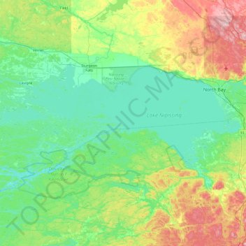
Name: Fishermans Island topographic map, elevation, terrain.
Average elevation: 807 ft
Minimum elevation: 594 ft
Maximum elevation: 1,480 ft
Other topographic maps
Click on a map to view its topography, its elevation and its terrain.
French River Provincial Park
Canada > Ontario > West Nipissing
French River Provincial Park, Dokis Reserve Road, West Nipissing, Nipissing District, Ontario, Canada
Average elevation: 636 ft
Temagami River
Canada > Ontario > West Nipissing
Temagami River, West Nipissing, Nipissing District, Ontario, Canada
Average elevation: 837 ft