
Presqu'ile Provincial Park topographic map
Interactive map
Click on the map to display elevation.
About this map
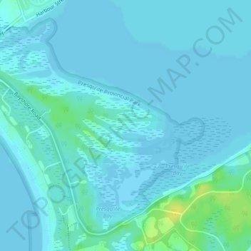
Name: Presqu'ile Provincial Park topographic map, elevation, terrain.
Average elevation: 249 ft
Minimum elevation: 240 ft
Maximum elevation: 299 ft