
Ouazan topographic map
Interactive map
Click on the map to display elevation.
About this map
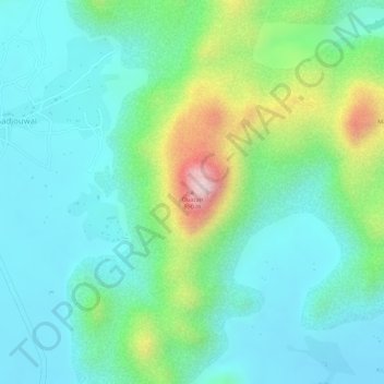
Name: Ouazan topographic map, elevation, terrain.
Location: Ouazan, Meri, Diamaré, Extrême-Nord, Cameroun (10.65871 14.08732 10.65881 14.08742)
Average elevation: 2,011 ft
Minimum elevation: 1,696 ft
Maximum elevation: 2,861 ft
Other topographic maps
Click on a map to view its topography, its elevation and its terrain.