
Sound Side topographic map
Click on the map to display elevation.
About this map
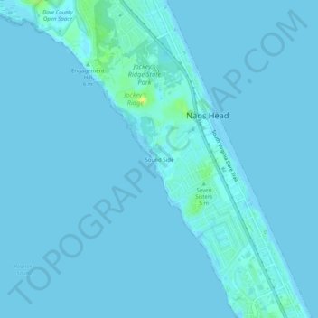
Name: Sound Side topographic map, elevation, terrain.
Average elevation: 3 ft
Minimum elevation: -3 ft
Maximum elevation: 66 ft
Dare County trails, hiking, mountain biking, running and outdoor activities
Other topographic maps
Click on a map to view its topography, its elevation and its terrain.
Cape Hatteras National Seashore
United States > North Carolina > Dare County > Nags Head
Average elevation: 0 ft
Cape Hatteras National Seashore
United States > North Carolina > Dare County > Nags Head
Average elevation: 0 ft