Geolocate

Kagel topographic map

Click on the map to display elevation.

About this map

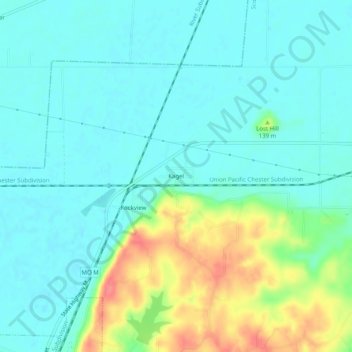
Name: Kagel topographic map, elevation, terrain.

Location: Kagel, Scott County, Missouri, 63240, United States (37.18588 -89.65342 37.22588 -89.61342)

Average elevation: 371 ft

Minimum elevation: 315 ft

Maximum elevation: 528 ft

Scott County trails, hiking, mountain biking, running and outdoor activities

Other topographic maps

Click on a map to view its topography, its elevation and its terrain.

Sikeston

United States > Missouri > Scott County

Average elevation: 318 ft

Commerce

United States > Missouri > Scott County

Average elevation: 358 ft

Gear up for your next adventure:

👟Men's Trail Runners - Lightweight footwear for fast-paced exploration and light hiking
🗻Climbing Gear Basics - Essential gear for beginner climbers
📱Solar Portable Charger - Solar power bank for charging devices off‑grid
📖Nature Tracking Books - Learn to track wildlife and terrain
🪵Folding Camp Saw - Compact saw for wood and campsite work

As an Amazon Associate, this site earns from qualifying purchases at no extra cost to you.