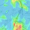
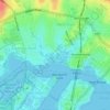
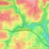
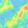
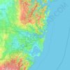
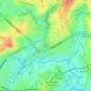
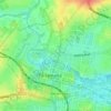
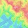
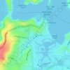
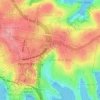
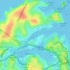
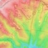
Eastern Suburbs topographic map
Click on the map to display elevation.
About this map

Name: Eastern Suburbs topographic map, elevation, terrain.
Location: Eastern Suburbs, Sydney, New South Wales, Australia (-34.00199 151.18823 -33.83281 151.28779)
Average elevation: 39 ft
Minimum elevation: -20 ft
Maximum elevation: 367 ft
Other topographic maps
Click on a map to view its topography, its elevation and its terrain.