
طينة topographic map
Interactive map
Click on the map to display elevation.
About this map
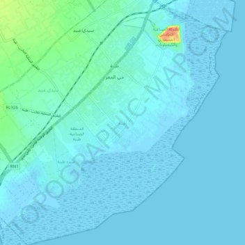
Name: طينة topographic map, elevation, terrain.
Location: طينة, معتمدية طينة, Sfax, Tunisia (34.62901 10.65589 34.70952 10.75282)
Average elevation: 16 ft
Minimum elevation: -13 ft
Maximum elevation: 167 ft
Other topographic maps
Click on a map to view its topography, its elevation and its terrain.
سكرة
Tunisia > Sfax > معتمدية صفاقس الغربية
سكرة, معتمدية صفاقس الغربية, Sfax, 3003, Tunisia
Average elevation: 20 ft