
Thank you for supporting this site ❤️
Make a donation
Make a donation
Gear up for your next adventure:
As an Amazon Associate, this site earns from qualifying purchases at no extra cost to you.
Ar Rahwah topographic map
Click on the map to display elevation.
Thank you for supporting this site ❤️
Make a donation
Make a donation
Gear up for your next adventure:
As an Amazon Associate, this site earns from qualifying purchases at no extra cost to you.
About this map
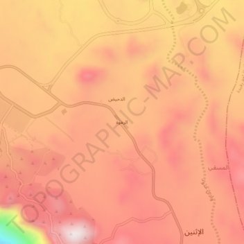
Name: Ar Rahwah topographic map, elevation, terrain.
Location: Ar Rahwah, al Ithnayn, Abha, 'Asir Province, Saudi Arabia (18.03739 42.71331 18.07739 42.75331)
Average elevation: 7,339 ft
Minimum elevation: 5,863 ft
Maximum elevation: 7,956 ft
Thank you for supporting this site ❤️
Make a donation
Make a donation
Gear up for your next adventure:
As an Amazon Associate, this site earns from qualifying purchases at no extra cost to you.