Geolocate

Malaut Pind topographic map

Click on the map to display elevation.

About this map

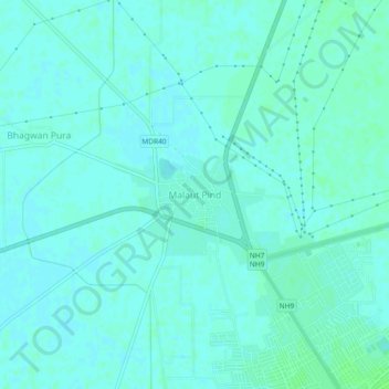
Name: Malaut Pind topographic map, elevation, terrain.

Location: Malaut Pind, Malout Tahsil, Sri Muktsar Sahib, Punjab, India (30.19087 74.46124 30.23087 74.50124)

Average elevation: 640 ft

Minimum elevation: 630 ft

Maximum elevation: 653 ft

Gear up for your next adventure:

🍳Camping Cook Set - Complete cookware for outdoor meals
🔭Stargazing Telescopes - Perfect for camping in low-light pollution areas shown on maps
🚑Emergency Bivvies - Heat-reflective sleeping bags for survival situations
🦶Carbon Trekking Poles - Reduce knee impact on steep descents with ultra-light poles
👖Convertible Hiking Pants - Versatile zip-off pants for changing altitudes and temperatures

As an Amazon Associate, this site earns from qualifying purchases at no extra cost to you.