Geolocate

Bonner topographic map

Click on the map to display elevation.

About this map

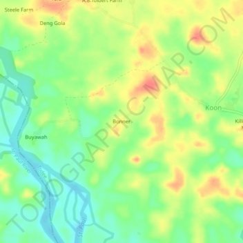
Name: Bonner topographic map, elevation, terrain.

Location: Bonner, Todee, Montserrado County, Liberia (6.58043 -10.57520 6.62043 -10.53520)

Average elevation: 200 ft

Minimum elevation: 118 ft

Maximum elevation: 292 ft

Gear up for your next adventure:

🪵Folding Camp Saw - Compact saw for wood and campsite work
☀️Outdoor Sunscreen - High protection sunscreen for outdoor activities
⛑️Personal Locator Beacon - Safety beacon for emergencies
🩳Quick‑Dry Hiking Shorts - Comfortable and quick‑dry shorts for summer hiking
🥤Water Filter Bottle - All‑in‑one filter bottle for safe hydration

As an Amazon Associate, this site earns from qualifying purchases at no extra cost to you.