
梧桐山 topographic map
Interactive map
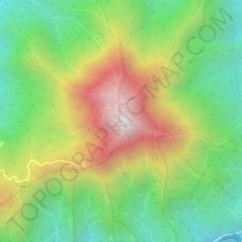
Click on the map to display elevation.
About this map
Name: 梧桐山 topographic map, elevation, terrain.
Location: 梧桐山, 深圳市, 广东省, 518083, 中国 (22.58222 114.21462 22.58232 114.21472)
Average elevation: 1,512 ft
Minimum elevation: 302 ft
Maximum elevation: 3,025 ft
梧桐山主峰大梧桐高達海拔943.7米,比香港的鳳凰山(934米)高,稍遜於香港大帽山頂峰(957米),是深圳市的最高點。山西麓有仙湖植物園和著名的佛教寺廟建築群弘法寺。
Other topographic maps
Click on a map to view its topography, its elevation and its terrain.