
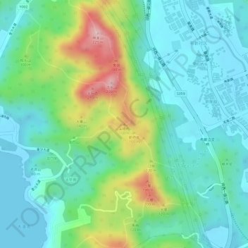
尖峰岭 topographic map
Interactive map
Click on the map to display elevation.
About this map
Name: 尖峰岭 topographic map, elevation, terrain.
Location: 尖峰岭, 深圳市, 广东省, 518120, 中国 (22.57325 114.47138 22.57335 114.47148)
Average elevation: 213 ft
Minimum elevation: 0 ft
Maximum elevation: 725 ft
Other topographic maps
Click on a map to view its topography, its elevation and its terrain.