Geolocate

Amalia topographic map

Click on the map to display elevation.

About this map

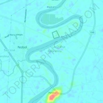
Name: Amalia topographic map, elevation, terrain.

Location: Amalia, Daule, Guayas, 091906, Ecuador (-1.93729 -80.02032 -1.89729 -79.98032)

Average elevation: 23 ft

Minimum elevation: -20 ft

Maximum elevation: 230 ft

Gear up for your next adventure:

🥇GPS Hiking Watch - Multi‑sport GPS watch with navigation and trail tracking
🍳Camping Cook Set - Complete cookware for outdoor meals
🚗GPS Dash Cams - Record your scenic drives through mountain passes and canyons
🧷Carabiner Set - Durable clips for gear attachment
🛡️Insect Repellent - Protection against bugs during outdoor activities

As an Amazon Associate, this site earns from qualifying purchases at no extra cost to you.