
Oultons Island topographic map
Interactive map
Click on the map to display elevation.
About this map
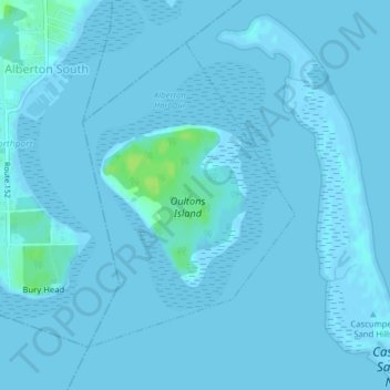
Name: Oultons Island topographic map, elevation, terrain.
Average elevation: 3 ft
Minimum elevation: -7 ft
Maximum elevation: 36 ft
Other topographic maps
Click on a map to view its topography, its elevation and its terrain.
Freeland
Canada > Prince Edward Island > Rural Municipality of Lot 11 and Area
Freeland, Rural Municipality of Lot 11 and Area, Prince County, Prince Edward Island, Canada
Average elevation: 33 ft