Geolocate

Donk topographic map

Click on the map to display elevation.

About this map

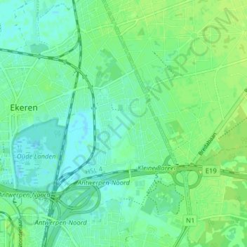
Name: Donk topographic map, elevation, terrain.

Location: Donk, Ekeren, Antwerp, 2180, Belgium (51.25554 4.42690 51.29554 4.46690)

Average elevation: 20 ft

Minimum elevation: -3 ft

Maximum elevation: 33 ft

Gear up for your next adventure:

🧥Men's Rain Shells - Premium waterproof and breathable jackets for mountain weather
📱Solar Portable Charger - Solar power bank for charging devices off‑grid
🍳Camping Cook Set - Complete cookware for outdoor meals
🔭Telescopic Hiking Pole - Adjustable pole for hiking stability
🧭Compass with Lanyard - Easy‑carry compass for navigation

As an Amazon Associate, this site earns from qualifying purchases at no extra cost to you.