Geolocate

687 topographic map

Click on the map to display elevation.

About this map

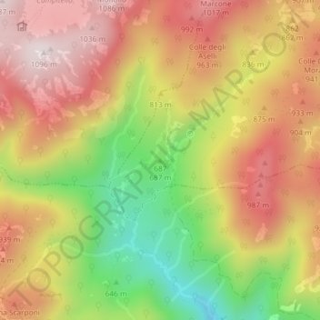
Name: 687 topographic map, elevation, terrain.

Location: 687, Roccagiovine, Roma Capitale, Lazio, Italy (42.04375 12.85441 42.04385 12.85451)

Average elevation: 2,644 ft

Minimum elevation: 1,490 ft

Maximum elevation: 3,553 ft

Gear up for your next adventure:

👖Convertible Hiking Pants - Versatile zip-off pants for changing altitudes and temperatures
🍳Camping Cook Set - Complete cookware for outdoor meals
🛡️Insect Repellent - Protection against bugs during outdoor activities
🎒Hydration Pack - Hands‑free water reservoir for long hikes
🎒Outdoor Daypacks - Lightweight backpacks designed for carrying maps and essential gear

As an Amazon Associate, this site earns from qualifying purchases at no extra cost to you.