Geolocate

Nakodar topographic map

Click on the map to display elevation.

Nakodar

Nakodar is located at 31°08′N 75°28′E / 31.13°N 75.47°E / 31.13; 75.47. It has an average elevation of 223 metres (731 feet). Nakodar lies on Moga-Jalandhar section of National Highway 703 (NH 703).

Wikipedia (CC-BY-SA 3.0)

About this map

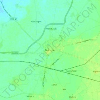
Name: Nakodar topographic map, elevation, terrain.

Location: Nakodar, Nakodar Tahsil, Jalandhar District, Punjab, 141310, India (31.08644 75.43614 31.16644 75.51614)

Average elevation: 758 ft

Minimum elevation: 738 ft

Maximum elevation: 781 ft

Gear up for your next adventure:

🧤Tactile Hiking Gloves - Keep hands warm while operating GPS and smartphone screens
GPS Sports Watch - GPS watch for running, hiking and training
🎒Outdoor Daypacks - Lightweight backpacks designed for carrying maps and essential gear
👖Convertible Hiking Pants - Versatile zip-off pants for changing altitudes and temperatures
🚪Portable Camp Chair - Foldable chair for comfort at camp

As an Amazon Associate, this site earns from qualifying purchases at no extra cost to you.