
新胜村 topographic map
Interactive map
Click on the map to display elevation.
About this map
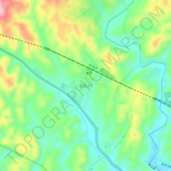
Name: 新胜村 topographic map, elevation, terrain.
Location: 新胜村, 泰宁县, 三明市, 福建省, 中国 (26.90670 117.12736 26.94670 117.16736)
Average elevation: 1,158 ft
Minimum elevation: 919 ft
Maximum elevation: 1,591 ft
Other topographic maps
Click on a map to view its topography, its elevation and its terrain.