Geolocate

Khola topographic map

Click on the map to display elevation.

About this map

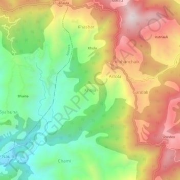
Name: Khola topographic map, elevation, terrain.

Location: Khola, Bhanoli, Almora, Uttarakhand, 263624, India (29.60311 79.79934 29.64311 79.83934)

Average elevation: 5,814 ft

Minimum elevation: 4,669 ft

Maximum elevation: 7,152 ft

Gear up for your next adventure:

📷Action Camera - Capture your outdoor adventures in HD
🥇GPS Hiking Watch - Multi‑sport GPS watch with navigation and trail tracking
🧭GPS Watch Accessories - Bands and chargers for GPS watches
🎁Geography Themed Gifts - Unique gift ideas for map lovers and geography enthusiasts
🧯Emergency Survival Kit - All‑in‑one survival essentials for the backcountry

As an Amazon Associate, this site earns from qualifying purchases at no extra cost to you.