
Jumping Off Rock topographic map
Click on the map to display elevation.
About this map
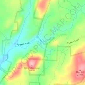
Name: Jumping Off Rock topographic map, elevation, terrain.
Average elevation: 636 ft
Minimum elevation: 440 ft
Maximum elevation: 922 ft
Montgomery County trails, hiking, mountain biking, running and outdoor activities
Other topographic maps
Click on a map to view its topography, its elevation and its terrain.
Uwharrie National Forest
United States > North Carolina > Montgomery County > Troy
Average elevation: 574 ft
Cul Res Town Creek Indian Mound
United States > North Carolina > Montgomery County
Average elevation: 233 ft
Cul Res Town Creek Indian Mound
United States > North Carolina > Montgomery County
Average elevation: 233 ft