Geolocate

Loch Leven topographic map

Click on the map to display elevation.

About this map

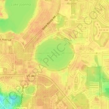
Name: Loch Leven topographic map, elevation, terrain.

Location: Loch Leven, Mount Dora, Lake County, Florida, United States (28.82535 -81.64077 28.83298 -81.62962)

Average elevation: 164 ft

Minimum elevation: 79 ft

Maximum elevation: 190 ft

Lake County trails, hiking, mountain biking, running and outdoor activities

Gear up for your next adventure:

🦟Ultrasonic Repellers - Create a bug-free zone at your camp or rest stop
🎒Gear Packing Cubes - Organize your backpack efficiently
📌Outdoor GPS Map App - Apps and devices for digital topographic navigation
🧯Emergency Survival Kit - All‑in‑one survival essentials for the backcountry
🎒Outdoor Daypacks - Lightweight backpacks designed for carrying maps and essential gear

As an Amazon Associate, this site earns from qualifying purchases at no extra cost to you.