Geolocate

Tinauka topographic map

Click on the map to display elevation.

About this map

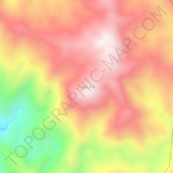
Name: Tinauka topographic map, elevation, terrain.

Location: Tinauka, Donggala Regency, Central Sulawesi, Sulawesi, Indonesia (-1.38346 119.79004 -1.34346 119.83004)

Average elevation: 4,708 ft

Minimum elevation: 2,805 ft

Maximum elevation: 5,889 ft

Other topographic maps

Click on a map to view its topography, its elevation and its terrain.

Gear up for your next adventure:

🪶LED Camping Lantern - Bright lantern for camp lighting
🔌USB Car Charger - Car charger for on‑the‑go power needs
🚪Portable Camp Chair - Foldable chair for comfort at camp
👟Trail Running Shoes - Lightweight shoes for trail runners
📚USA Hiking Guide Books - Top trail guides and map books

As an Amazon Associate, this site earns from qualifying purchases at no extra cost to you.