
Thank you for supporting this site ❤️
Make a donation
Make a donation
Gear up for your next adventure:
As an Amazon Associate, this site earns from qualifying purchases at no extra cost to you.
Wangkar topographic map
Click on the map to display elevation.
Thank you for supporting this site ❤️
Make a donation
Make a donation
Gear up for your next adventure:
As an Amazon Associate, this site earns from qualifying purchases at no extra cost to you.
About this map
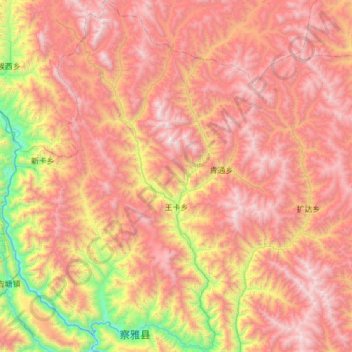
Name: Wangkar topographic map, elevation, terrain.
Location: Wangkar, Zhag'yab County, Chamdo City, Tibet, China (30.62767 97.43166 31.15559 97.73451)
Average elevation: 14,186 ft
Minimum elevation: 10,069 ft
Maximum elevation: 17,602 ft
Thank you for supporting this site ❤️
Make a donation
Make a donation
Gear up for your next adventure:
As an Amazon Associate, this site earns from qualifying purchases at no extra cost to you.