
Heythuysen topographic map
Interactive map
Click on the map to display elevation.
About this map
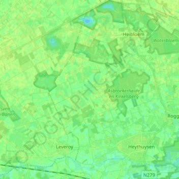
Name: Heythuysen topographic map, elevation, terrain.
Location: Heythuysen, Leudal, Limburg, Nederland (51.23560 5.83380 51.31658 5.91792)
Average elevation: 102 ft
Minimum elevation: 79 ft
Maximum elevation: 115 ft
Heythuysen zelf ligt op een hoogte van ongeveer 29 meter.
Other topographic maps
Click on a map to view its topography, its elevation and its terrain.