
Ittervoort topographic map
Interactive map
Click on the map to display elevation.
About this map
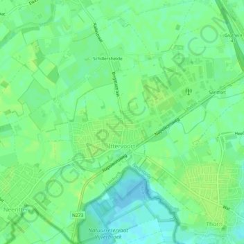
Name: Ittervoort topographic map, elevation, terrain.
Location: Ittervoort, Leudal, Limburg, Nederland (51.15875 5.80768 51.18761 5.85292)
Average elevation: 98 ft
Minimum elevation: 72 ft
Maximum elevation: 115 ft
Other topographic maps
Click on a map to view its topography, its elevation and its terrain.