Geolocate

Bato topographic map

Click on the map to display elevation.

About this map

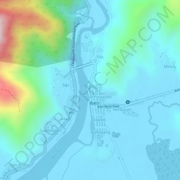
Name: Bato topographic map, elevation, terrain.

Location: Bato, Catanduanes, Bicol Region, Philippines (13.60976 124.29684 13.61014 124.29729)

Average elevation: 230 ft

Minimum elevation: -95 ft

Maximum elevation: 1,299 ft

Gear up for your next adventure:

🔭Compact Binoculars - HD vision for scouting terrain and identifying distant landmarks
Backpacking Tents - Weight-optimized shelters for multi-day topographic surveys
🛠️Backpacking Tool Kit - Essential toolkit for outdoor repairs
🛶Inflatable Kayak - Portable kayak for rivers, lakes, and expeditions
🩹Survival Bandages - High‑quality bandages for emergencies

As an Amazon Associate, this site earns from qualifying purchases at no extra cost to you.