
Thank you for supporting this site ❤️
Make a donation
Make a donation
Gear up for your next adventure:
As an Amazon Associate, this site earns from qualifying purchases at no extra cost to you.
Nekarikallu topographic map
Click on the map to display elevation.
Thank you for supporting this site ❤️
Make a donation
Make a donation
Gear up for your next adventure:
As an Amazon Associate, this site earns from qualifying purchases at no extra cost to you.
About this map
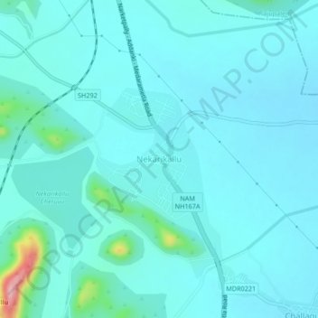
Name: Nekarikallu topographic map, elevation, terrain.
Location: Nekarikallu, Palnadu, Andhra Pradesh, 522615, India (16.35162 79.92184 16.39162 79.96184)
Average elevation: 430 ft
Minimum elevation: 361 ft
Maximum elevation: 948 ft
Thank you for supporting this site ❤️
Make a donation
Make a donation
Gear up for your next adventure:
As an Amazon Associate, this site earns from qualifying purchases at no extra cost to you.