Geolocate

Terche topographic map

Click on the map to display elevation.

About this map

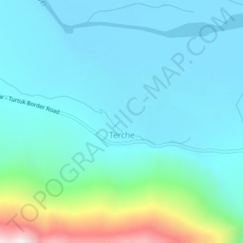
Name: Terche topographic map, elevation, terrain.

Location: Terche, Nubra, Leh district, Ladakh, India (34.66066 77.32383 34.66547 77.33190)

Average elevation: 10,466 ft

Minimum elevation: 9,977 ft

Maximum elevation: 12,792 ft

Other topographic maps

Click on a map to view its topography, its elevation and its terrain.

Gapshan

India > Ladakh > Nubra

Average elevation: 15,896 ft

Khardung

India > Ladakh > Nubra

Average elevation: 13,711 ft

Gear up for your next adventure:

👟Men's Trail Runners - Lightweight footwear for fast-paced exploration and light hiking
🧤Tactile Hiking Gloves - Keep hands warm while operating GPS and smartphone screens
🗻Climbing Gear Basics - Essential gear for beginner climbers
🧦Hiking Socks - Comfortable socks to prevent blisters on long hikes
🖼️Topo Map Wall Art - Decorative topographic prints of famous peaks and regions

As an Amazon Associate, this site earns from qualifying purchases at no extra cost to you.