Geolocate

Cachillacta topographic map

Click on the map to display elevation.

About this map

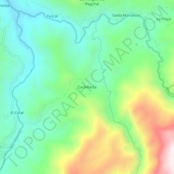
Name: Cachillacta topographic map, elevation, terrain.

Location: Cachillacta, Nanegal, Quito Canton, Pichincha, Ecuador (0.08822 -78.66196 0.12822 -78.62196)

Average elevation: 4,514 ft

Minimum elevation: 3,671 ft

Maximum elevation: 6,306 ft

Gear up for your next adventure:

🖼️Topo Map Wall Art - Decorative topographic prints of famous peaks and regions
🪶Camping Sleeping Pad - Comfortable sleeping pad for backpacking
🕶️GPS Smartphone Mount - Secure mount for phone navigation
🍳Camping Cook Set - Complete cookware for outdoor meals
🔋Solar Power Banks - Keep your GPS and phone charged in remote wilderness areas

As an Amazon Associate, this site earns from qualifying purchases at no extra cost to you.