Geolocate

Spring Glen topographic map

Click on the map to display elevation.

About this map

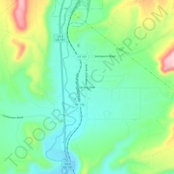
Name: Spring Glen topographic map, elevation, terrain.

Location: Spring Glen, Carbon County, Utah, 84526, United States (39.63941 -110.87349 39.67941 -110.83349)

Average elevation: 5,906 ft

Minimum elevation: 5,650 ft

Maximum elevation: 6,470 ft

Gear up for your next adventure:

Solar GPS Watches - Advanced multisport watches with built-in topographic maps
🧭Compass with Lanyard - Easy‑carry compass for navigation
GPS Sports Watch - GPS watch for running, hiking and training
🥘Titanium Cookware - Durable, featherlight pots and pans for backpacking
🎒Gear Packing Cubes - Organize your backpack efficiently

As an Amazon Associate, this site earns from qualifying purchases at no extra cost to you.