Geolocate
👉 Easily get elevation data in JSON, GeoTIFF and KML formats using Elevation API
Thank you for supporting this site ❤️
Make a donation

Morristown topographic map

Click on the map to display elevation.

About this map

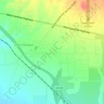
Name: Morristown topographic map, elevation, terrain.

Location: Morristown, Maricopa County, Arizona, United States (33.84773 -112.62731 33.86255 -112.60310)

Average elevation: 1,998 ft

Minimum elevation: 1,923 ft

Maximum elevation: 2,110 ft

Maricopa County trails, hiking, mountain biking, running and outdoor activities

Gear up for your next adventure:

🌎3D Topographic Globes - Raised relief globes for a tactile understanding of geography
🪑Portable Camp Table - Compact table for campsite meals
🎒Waterproof Dry Bags - Keep your electronics and maps dry inside your pack
💧Water Purification System - Clean water on the trail with reliable purifiers
🥇GPS Hiking Watch - Multi‑sport GPS watch with navigation and trail tracking

As an Amazon Associate, this site earns from qualifying purchases at no extra cost to you.