
Thank you for supporting this site ❤️
Make a donation
Make a donation
Gear up for your next adventure:
As an Amazon Associate, this site earns from qualifying purchases at no extra cost to you.
Beni Khedache topographic map
Click on the map to display elevation.
Thank you for supporting this site ❤️
Make a donation
Make a donation
Gear up for your next adventure:
As an Amazon Associate, this site earns from qualifying purchases at no extra cost to you.
About this map
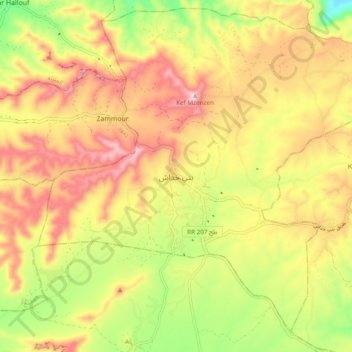
Name: Beni Khedache topographic map, elevation, terrain.
Location: Beni Khedache, بني خداش, معتمدية بني خداش, Médenine, Tunisia (33.21139 10.16010 33.29139 10.24010)
Average elevation: 1,608 ft
Minimum elevation: 961 ft
Maximum elevation: 2,172 ft
Thank you for supporting this site ❤️
Make a donation
Make a donation
Gear up for your next adventure:
As an Amazon Associate, this site earns from qualifying purchases at no extra cost to you.