
Cresson topographic map
Interactive map
Click on the map to display elevation.
About this map
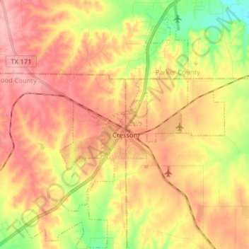
Name: Cresson topographic map, elevation, terrain.
Location: Cresson, Hood County, Texas, United States (32.48102 -97.66926 32.58877 -97.56608)
Average elevation: 994 ft
Minimum elevation: 771 ft
Maximum elevation: 1,158 ft
Hood County trails, hiking, mountain biking, running and outdoor activities
Other topographic maps
Click on a map to view its topography, its elevation and its terrain.