Geolocate

La Rinconada topographic map

Click on the map to display elevation.

About this map

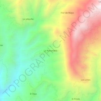
Name: La Rinconada topographic map, elevation, terrain.

Location: La Rinconada, La Coipa, San Ignacio, Cajamarca, Perú (-5.43408 -79.00185 -5.39408 -78.96185)

Average elevation: 4,567 ft

Minimum elevation: 2,894 ft

Maximum elevation: 6,778 ft

Gear up for your next adventure:

🧴Hand Sanitizer - Keep hands clean while hiking
Backpacking Tents - Weight-optimized shelters for multi-day topographic surveys
🔭Telescopic Hiking Pole - Adjustable pole for hiking stability
🧢Sun Protection Hats - Wide-brimmed and UPF-rated hats for high-altitude sun safety
🪑Ultralight Camp Chairs - Portable seating for resting after a long day of mapping

As an Amazon Associate, this site earns from qualifying purchases at no extra cost to you.