
Borgund topographic map
Click on the map to display elevation.
About this map
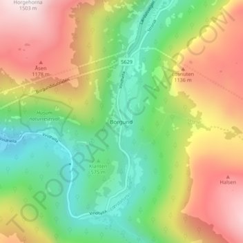
Name: Borgund topographic map, elevation, terrain.
Location: Borgund, Lærdal, Vestland, 68, Norway (61.02870 7.79350 61.06870 7.83350)
Average elevation: 2,539 ft
Minimum elevation: 869 ft
Maximum elevation: 4,885 ft