
Thank you for supporting this site ❤️
Make a donation
Make a donation
Gear up for your next adventure:
As an Amazon Associate, this site earns from qualifying purchases at no extra cost to you.
Tularosa topographic map
Click on the map to display elevation.
Thank you for supporting this site ❤️
Make a donation
Make a donation
Gear up for your next adventure:
As an Amazon Associate, this site earns from qualifying purchases at no extra cost to you.
About this map
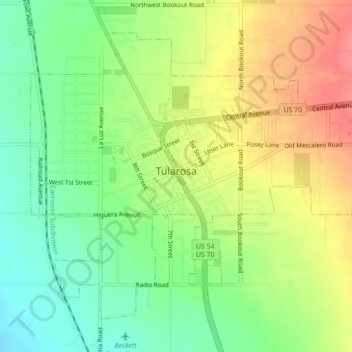
Name: Tularosa topographic map, elevation, terrain.
Location: Tularosa, Otero County, New Mexico, 88352, United States (33.05856 -106.03674 33.08835 -105.99309)
Average elevation: 4,498 ft
Minimum elevation: 4,390 ft
Maximum elevation: 4,623 ft
Thank you for supporting this site ❤️
Make a donation
Make a donation
Gear up for your next adventure:
As an Amazon Associate, this site earns from qualifying purchases at no extra cost to you.