
Thank you for supporting this site ❤️
Make a donation
Make a donation
Gear up for your next adventure:
As an Amazon Associate, this site earns from qualifying purchases at no extra cost to you.
Langar topographic map
Click on the map to display elevation.
Thank you for supporting this site ❤️
Make a donation
Make a donation
Gear up for your next adventure:
As an Amazon Associate, this site earns from qualifying purchases at no extra cost to you.
About this map
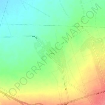
Name: Langar topographic map, elevation, terrain.
Location: Langar, Mahan, بخش ماهان, Kerman County, Kerman Province, Iran (30.05444 57.24379 30.09444 57.28379)
Average elevation: 6,112 ft
Minimum elevation: 6,014 ft
Maximum elevation: 6,247 ft
Thank you for supporting this site ❤️
Make a donation
Make a donation
Gear up for your next adventure:
As an Amazon Associate, this site earns from qualifying purchases at no extra cost to you.