Geolocate

Ghewar topographic map

Click on the map to display elevation.

About this map

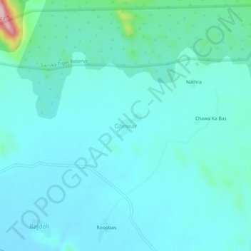
Name: Ghewar topographic map, elevation, terrain.

Location: Ghewar, Rajgarh Tehsil, Alwar, Rajasthan, India (27.23768 76.42124 27.27768 76.46124)

Average elevation: 1,237 ft

Minimum elevation: 1,122 ft

Maximum elevation: 2,008 ft

Gear up for your next adventure:

🔦LED Headlamp - Bright and durable LED headlamp for night navigation
🖼️Topo Map Wall Art - Decorative topographic prints of famous peaks and regions
🧣Hiking Neck Gaiter - Multi‑use neck protection for outdoor weather
📷Action Camera - Capture your outdoor adventures in HD
🧢Outdoor Hiking Hat - Sun protection hat for outdoor explorers

As an Amazon Associate, this site earns from qualifying purchases at no extra cost to you.