
Gedinne-Station topographic map
Interactive map
Click on the map to display elevation.
About this map
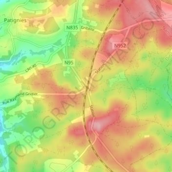
Name: Gedinne-Station topographic map, elevation, terrain.
Location: Gedinne-Station, Gedinne, Dinant, Namur, Wallonie, Belgique (49.96459 4.95774 50.00459 4.99774)
Average elevation: 1,270 ft
Minimum elevation: 1,037 ft
Maximum elevation: 1,467 ft