
Thank you for supporting this site ❤️
Make a donation
Make a donation
Gear up for your next adventure:
As an Amazon Associate, this site earns from qualifying purchases at no extra cost to you.
Ryesindizi topographic map
Click on the map to display elevation.
Thank you for supporting this site ❤️
Make a donation
Make a donation
Gear up for your next adventure:
As an Amazon Associate, this site earns from qualifying purchases at no extra cost to you.
About this map
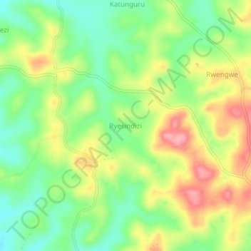
Name: Ryesindizi topographic map, elevation, terrain.
Location: Ryesindizi, Kazo, Western Region, Uganda (0.11075 30.65953 0.15075 30.69953)
Average elevation: 4,154 ft
Minimum elevation: 3,976 ft
Maximum elevation: 4,377 ft
Thank you for supporting this site ❤️
Make a donation
Make a donation
Gear up for your next adventure:
As an Amazon Associate, this site earns from qualifying purchases at no extra cost to you.